Edmonton is updating wayfinding for clearer and more intuitive navigation of the city's active transportation network.
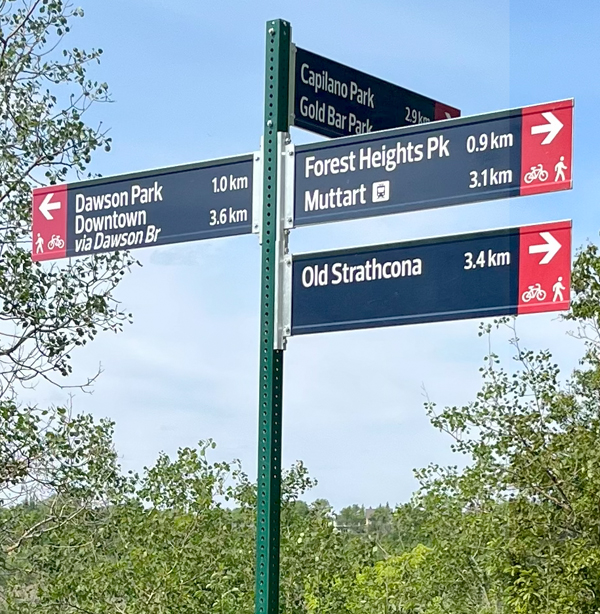
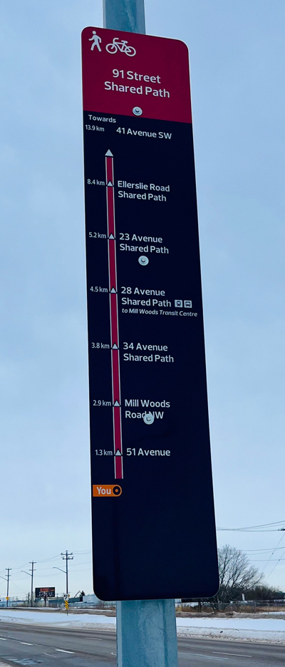
A bike wayfinding sign with distances and directions to a variety of locations near Saskatchewan Drive.
About The Project
Creating consistent styles of wayfinding signs for biking, walking and rolling is an important part of improving the way residents and visitors enjoy the city and find their way to important destinations. The City of Edmonton is committed to the creation of a city that is bike-friendly, more walkable and has accessible transit.
The new bike route wayfinding coordinates with the River Valley Wayfinding Signage and the Pedestrian Wayfinding Standard, and is designed to improve wayfinding for all users of the active mobility network. Feedback from Edmontonians through The Bike Plan public engagement process told us very clearly that people want better wayfinding.
The Bike Plan guides the planning and design of Edmonton’s bike network and programs and suggests ways to create better wayfinding:
- Develop and implement a bike wayfinding system, similar to other City wayfinding systems, that includes bikeway network signage with information on destinations, distances or travel times, and route orientation
- Remove existing bike wayfinding elements that are not consistent with the system (such as removing old bike route signs)
Wayfinding Designs
Concept Designs
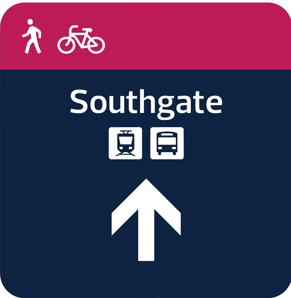
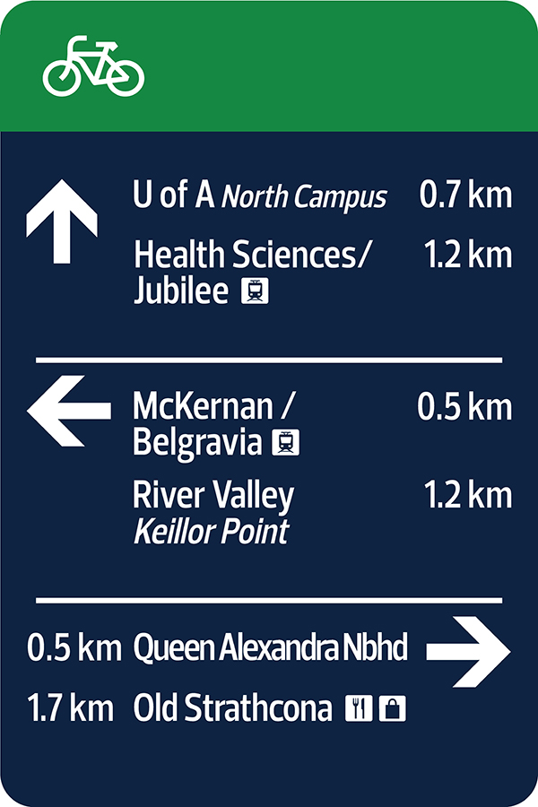
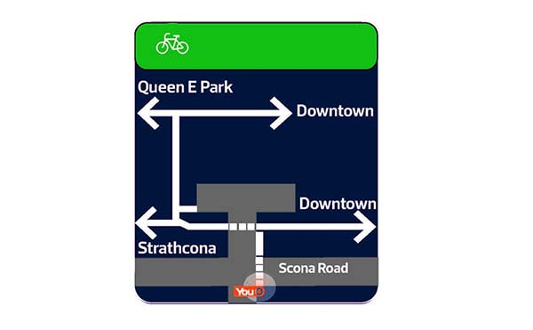
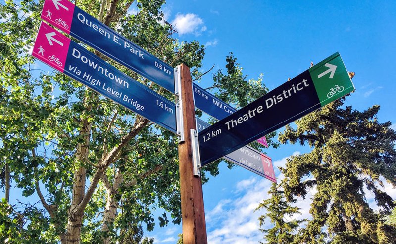
The new signs are designed to be consistent with current Edmonton wayfinding. The on-street bike routes can be identified by the green tab or strip with a bike pictogram. Shared have a magenta pink tab or strip with a pedestrian and bike pictogram.
The sign family includes:
- Fingerboards for major junctions with multiple choice points
- Decision signs that indicate bends or jogs in a bike route
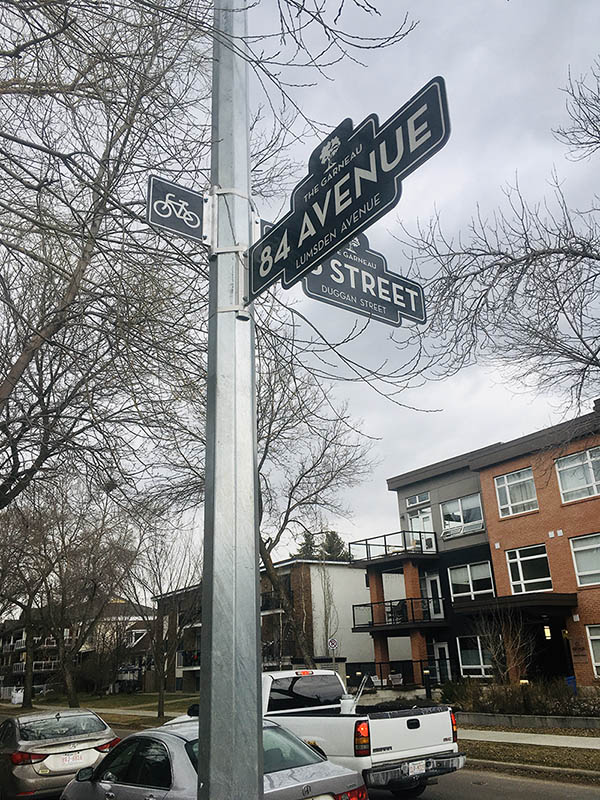
- Sign blades, tabs and overhead signs to reinforce to cyclists and drivers that there is on a bike route
Timeline and Next Steps
An initial trial of the new bike route wayfinding signs was installed in the Strathcona neighbourhood in the spring/summer of 2022. Based on feedback from the Strathcona trial, small adjustments were made, and the Active Transportation Network Wayfinding Design Guide was finalized.
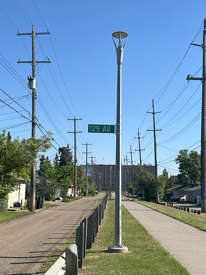
Rollout of the system of the system is in progress starting with the installation of updated signs along some of the district connector routes, such as 91 Street, 111 Street and 102 Avenue. The new wayfinding will also be added to current and future Neighbourhood Renewal projects as well as other City projects that include active transportation routes.